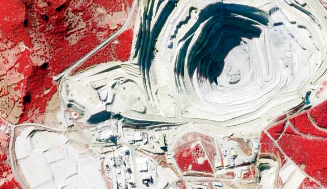
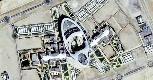
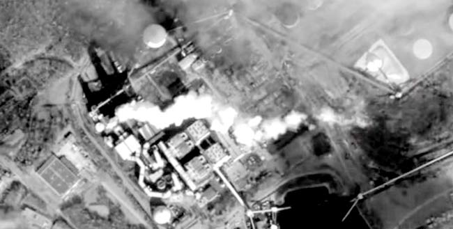
Breathtaking HD satellite footage of Earth, so accurate that you can watch cars plying on the streets and aeroplanes taking off

London: It is like viewing live Google Maps. A San Francisco firm has released first footage from a revolutionary satellite it is set to make public. The footage shows planes landing at Beijing airport in detail, to an extent that individual planes can easily be identified, while cars can be seen driving around the airport. In other footage cars are seen moving on roads and vessels travelling through shipping lanes — all from a satellite positioned 600 kms above the planet.
ADVERTISEMENT

The video was taken by the SkySat-1 satellite and showcases high-resolution views of Tokyo, Bangkok, Baltimore, Las Vegas, and Aleppo, Syria.

While it’s currently available for free, the group, Skybox Imaging, plans to sell the footage to businesses in the near future. SkySat-1, which was launched in November, captured up to 90-second video clips at 30 frames per second to create the footage.

The firm is now planning a constellation of 24 satellites that will cover the entire Earth.
Its larger goal is to sell what it can analyse about the global economy to companies, providing details such as supply chain monitoring and movement of humanitarian aid.
SkySat-1 is 20 times smaller than traditional satellites. The circuitry that drives it is about the size of a phone book and consumes less power than a 100w light bulb.
>> Footage reveals Tokyo, Bangkok, Baltimore, Las Vegas and Syria in HD
>> Was taken 600 kilometres above Earth by the SkySat-1 satellite
>> The satellite captured 90-second video clips at 30 frames per second
 Subscribe today by clicking the link and stay updated with the latest news!" Click here!


