
Home / Mumbai-guide / Things To Do / Article /
Explore the city's maritime landscape in print imagery at Ballard Estate
Updated On: 12 November, 2022 09:49 AM IST | Mumbai | Sukanya Datta
Dock yourself at the seamen’s club in Ballard Estate to explore the city’s maritime depiction in print imagery
Listen to this article :

Royal Bombay Yacht Club, 1920
It’s difficult to imagine if Mumbai would still be the hustling, bustling Maximum City that we know and love today, had it not been for the sea. From the Portuguese and the British to contemporary geopolitical forces, the metropolis’ maritime connection has been sliced and diced over the years. In an exploratory walkthrough this week, Mrinal Kapadia, founder, India Visual Art Archive, will take participants through printed imagery depicting maritime Mumbai.
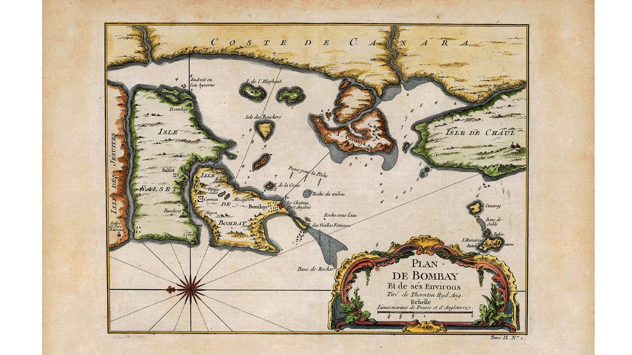
Plan de Bombay et de Ses Environs - Jacques Nicholas Bellin, 1752 (based on the earliest East India Company navigational map of Bombay from 1703)
Trending Stories
Latest Photos
Latest Videos
Latest Web Stories
ADVERTISEMENT
Mid-Day Fast
ADVERTISEMENT

ADVERTISEMENT