shot-button
Ganesh Chaturthi Ganesh Chaturthi
Home > News > India News > Article > Cyclone Michaung IMD issues red alert for coastal Andhra Pradesh

Cyclone Michaung: IMD issues red alert for coastal Andhra Pradesh

Updated on: 05 December,2023 02:00 PM IST  |  Mumbai
mid-day online correspondent |

The India Meteorological Department (IMD) has issued a red alert for coastal Andhra Pradesh as severe cyclonic storm "MICHAUNG" (pronounced as MIGJAUM) intensifies and makes landfall. The cyclone, currently moving nearly northwards along the south Andhra Pradesh coast, is centered near Bapatla, prompting authorities to take urgent measures
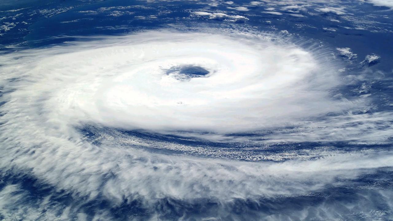
Cyclone Michaung: IMD issues red alert for coastal Andhra Pradesh

Representative Pic

The India Meteorological Department (IMD) has issued a red alert for coastal Andhra Pradesh as severe cyclonic storm "MICHAUNG" (pronounced as MIGJAUM) intensifies and makes landfall. The cyclone, currently moving nearly northwards along the south Andhra Pradesh coast, is centered near Bapatla, prompting authorities to take urgent measures.


Severe cyclonic storm Michaung is currently making landfall close to Bapatla. The system is expected to cross the south Andhra Pradesh coast close to Bapatla within the next four hours as a Severe Cyclonic Storm with a maximum sustained wind speed of 85-95 kmph gusting to 105 kmph.


Track and Intensity Forecasts:


05.12.23/0830 IST: 15.2/80.25 - 90-100 kmph gusting to 110 kmph (Severe Cyclonic Storm)

05.12.23/1130 IST: 15.7/80.3 - 85-95 kmph gusting to 105 kmph (Severe Cyclonic Storm)

05.12.23/1730 IST: 16.2/80.5 - 70-80 kmph gusting to 90 kmph (Cyclonic Storm)

05.12.23/2330 IST: 16.6/80.8 - 55-65 kmph gusting to 75 kmph (Deep Depression)

06.12.23/0530 IST: 17.3/81.6 - 40-50 kmph gusting to 60 kmph (Depression)

Red alert

Coastal Andhra Pradesh is expected to experience light to moderate rainfall, with heavy to very heavy rainfall at some places and extremely heavy falls at isolated locations on December 5, India Meteorological Department said in a statement. “Central districts of coastal Andhra Pradesh may witness exceptionally heavy rainfall. Telangana, Odisha, and Chhattisgarh are also under the rainfall warning. Different categories of rainfall amount are specified, ranging from heavy rain to extremely heavy rain.”

“Gale wind speeds of 90-100 kmph gusting to 110 kmph are predicted over westcentral Bay of Bengal around the system center, affecting the south Andhra Pradesh coast. Squally wind speeds are prevailing along the north Tamil Nadu-Puducherry coasts, Nellore district, and other parts of the region. Fishermen are strongly advised against venturing into these areas.

“High to very high sea conditions are reported over westcentral Bay of Bengal and along the south Andhra Pradesh coast. The condition is expected to improve gradually, becoming very rough by the evening of December 5 and rough by the morning of December 6.

Also read: Cyclone Michaung: Landfall begins in Andhra Pradesh, to continue for next 3 hours

“A storm surge of about 1-1.5 meters above astronomical tide is anticipated to inundate south Coastal Andhra Pradesh districts at the time of landfall.

“After landfall, the system is expected to weaken gradually, maintaining cyclonic storm intensity for about 12 hours. Wind speeds will gradually decrease, and damage is expected over coastal districts of South Andhra Pradesh and adjoining coastal districts of North Tamil Nadu-Puducherry.”

Authorities have urged residents in the affected areas to remain indoors, avoid vulnerable structures, and adhere to safety guidelines.

"Exciting news! Mid-day is now on WhatsApp Channels Subscribe today by clicking the link and stay updated with the latest news!" Click here!

Register for FREE
to continue reading !

This is not a paywall.
However, your registration helps us understand your preferences better and enables us to provide insightful and credible journalism for all our readers.

Mid-Day Web Stories

Mid-Day Web Stories

This website uses cookie or similar technologies, to enhance your browsing experience and provide personalised recommendations. By continuing to use our website, you agree to our Privacy Policy and Cookie Policy. OK