Home / News / World News / Article /
A strong magnitude 6.1 earthquake shakes Indonesia's Java Island
Updated On: 28 April, 2024 05:22 AM IST | Jakarta | mid-day online correspondent
The quake was also felt in other cities in West Java, Yogyakarta and East Java province, according to Indonesia`s Meteorology, Climatology and Geophysical Agency

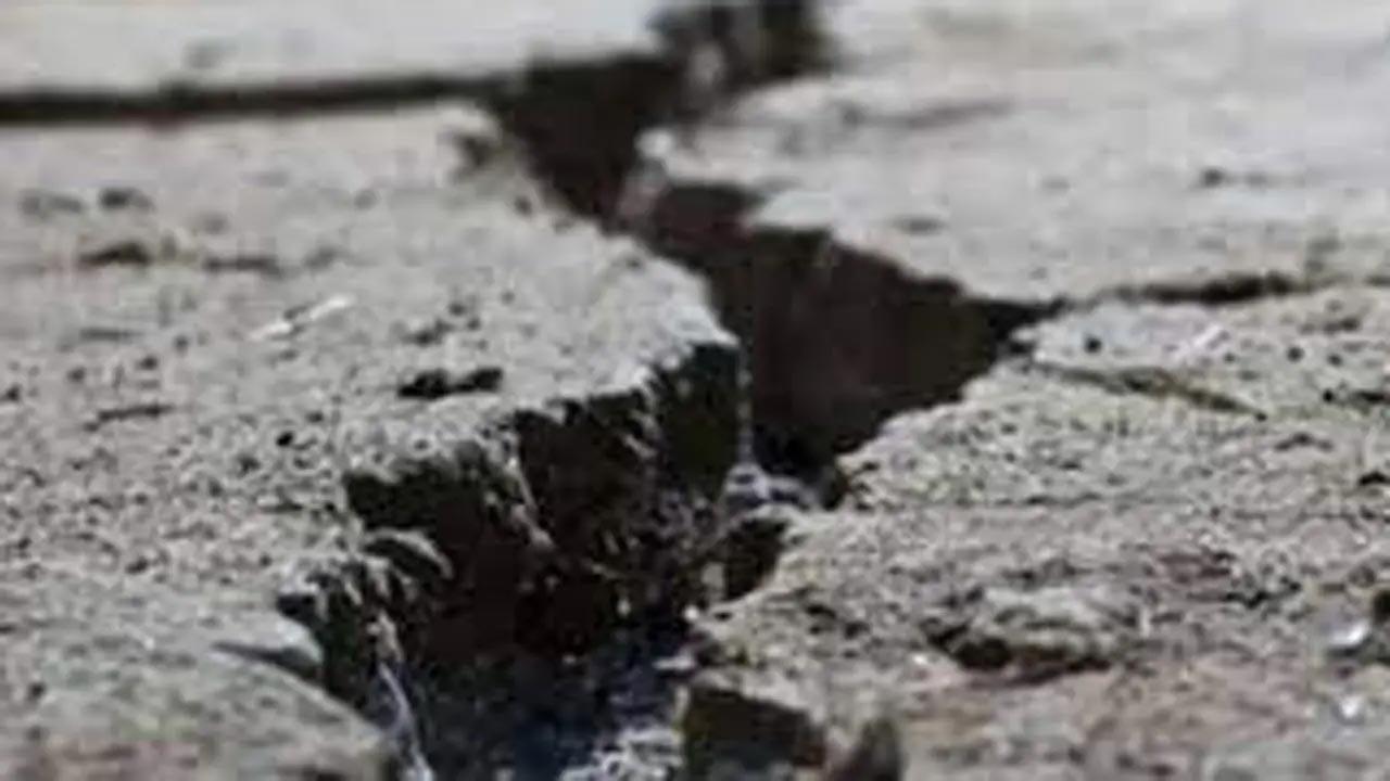
Representational image. Pic/iStock
On Saturday, a significant earthquake measuring 6.1 on the Richter scale shook the southern area of Indonesia`s largest island, Java. Fortunately, there were no early reports of injuries or serious property damage. According to the US Geological Survey, the quake hit at a depth of 68.3 kilometres (42.4 miles) south of Banjar city.
Despite the severity of the earthquake, no tsunami warning was issued. High-rise buildings in Jakarta shook for roughly a minute, while two-story homes in Bandung and nearby areas such as Depok, Tangerang, Bogor, and Bekasi were shaken violently. The earthquakes were detected in several cities across West Java, Yogyakarta, and East Java province, according to Indonesia`s Meteorology, Climatology and Geophysical Agency, reported PTI.


