According to the National Center for Seismology (NCS), the earthquake occurred at a depth of 33 km

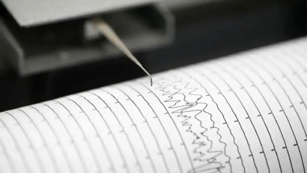
Representational Image
An earthquake of 3.2 magnitude hit the West Kameng district of Arunachal Pradesh at 6:34 am on Sunday, reported news agency ANI.
ADVERTISEMENT
According to the National Center for Seismology (NCS), the earthquake occurred at a depth of 33 km, reported ANI.
No casualties or damage to property have been reported.
Earlier on Friday (June 9), an earthquake of magnitude 3.9 jolted Ladakh and Jammu and Kashmir, the National Centre for Seismology (NCS) said.
There was no report of any loss of life or damage to property, officials said.
The earthquake struck at 10.23 am and lasted for a few seconds, the NCS said.
The depth of the earthquake was 10 kilometers below the surface of the earth at latitude 35.64 degrees north and longitude 76.62 degrees east. Its epicentre was in Ladakh, officials said.
Another earthquake of 3.7 magnitude hit Assam's Tezpur at 10:05 am on Friday.
According to the National Center for Seismology (NCS), the earthquake's epicentre was 39 km west of Tezpur and it occurred at a depth of 10 km.
No casualties or damage to property have been reported yet.
Meanwhile, an earthquake of magnitude 4.9 struck 59 km NNE of Masohi, Indonesia on Friday, the United States Geological Survey (USGS) reported.
The quake occurred took place at 16:04:05 (UTC+05:30) at a depth of 10.0 km.
According to USGS, the epicentre was found to be at 2.814degS and 129.206degE respectively.
Earthquakes, volcanic eruptions and tsunamis frequently strike Indonesia, a country of more than 270 million people because of its location on the "Ring of Fire."
The Ring of Fire, or the Circum-Pacific Belt, is a path along the Pacific Ocean characterized by active volcanoes and frequent earthquakes.
It is a horseshoe-shaped belt about 40,000km long and about 500 km wide that contains two-thirds of the world's total volcanoes and 90 per cent of Earth's earthquakes.
(With inputs from PTI and ANI)
 Subscribe today by clicking the link and stay updated with the latest news!" Click here!


