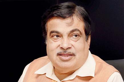
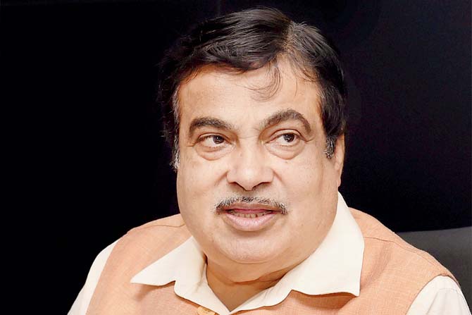
In a major boost to the inland waterway transport system in the North East, Union Shipping Minister Nitin Gadkari today flagged off cargo movement on the Pandu-Dhubri route along the Brahmaputra

In a major boost to the inland waterway transport system in the North East, Union Shipping Minister Nitin Gadkari today flagged off cargo movement on the Pandu-Dhubri route along the Brahmaputra.
ADVERTISEMENT

Nitin Gadkari
The Union minister also said that five bridges will be constructed on the river to ease transportation. The bridges will connect Jorhat with Nematighat, Disangmukh with Tekeliphuta, Louit with Khablu, Numaligarh with Gohpur and North Guwahati with Guwahati, he explained at the flagging-off ceremony at Majuli Island here.
"Another roll-on, roll-off (ro-ro)' ferry service to transfer passengers and vehicles in large numbers will also start here soon," the minister said. Stating that modern and well-equipped river ports will be established along the banks of the river, the minister said transportation of cargo through the National Waterway 2 - from Pandu in Guwahati to Dhubri along the Assam-Bengal border - will reduce logistics cost and save 300 km road travel.
The 891-km stretch of Brahmaputra between Sadiya in the easternmost part of upper Assam and Dhubri was declared as the National Waterway-2 in 1988. Sources said the Inland Water Authority of India (IWAI) will charge Rs 318 per tonne of cargo from Pandu to encourage entrepreneurs and logistic operators to shift to inland waterway from road transportation.
Gadkari also laid the foundation stone for a new scheme for protection of Majuli Island from flood and erosion. The scheme, worth Rs 233.57 crore, was framed by the Brahmaputra Board after taking into account the recommendations of a high-level expert committee of the central government.
The members of the committee visits the island at least twice a year to monitor anti-erosion measures, official sources said here. As part of the scheme, riverbank revetment work will be carried out with sand- or earth-filled geo bags in 14 locations.
Majuli district, with an area of 1245 sq km, includes the main Majuli Island, a large number of smaller islands, some of which are inhabited, and the Brahmaputra River up to its south bank touching Jorhat and Sibsagar districts.
Although measures were taken by the Assam government in the past, the problem of erosion and flood remained largely uncontained, Brahmaputra Board sources said.
Except for the headline, this story has not been edited by mid-day online. This story is published from a syndicated feed
Download the new mid-day Android and iOS apps to get updates on all the latest and trending stories on the go
 Subscribe today by clicking the link and stay updated with the latest news!" Click here!


